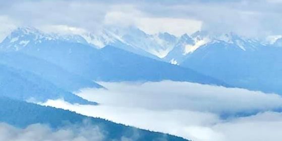
Glacier Bay National Park Map
Glacier Bay National Park and Preserve is one of the most remote and spectacular national parks in the United States. Unlike most parks, there are no roads leading into the heart of Glacier Bay. A good map is essential for understanding the park’s vast fjords, tidewater glaciers, hiking trails, visitor facilities, and transportation routes.
Where is Glacier Bay National Park Located?
Glacier Bay National Park is located in southeastern Alaska, approximately 65 miles (105 km) northwest of Juneau. The park covers more than 3.3 million acres, making it one of America’s largest national parks.
Unlike parks such as Yellowstone or Yosemite, Glacier Bay has almost no road network. Most of the park is accessible only by:
- Cruise ships
- National Park Service day tour boats
- Private boats
- Kayaks
- Small aircraft
Because of this, maps focus on waterways rather than highways.
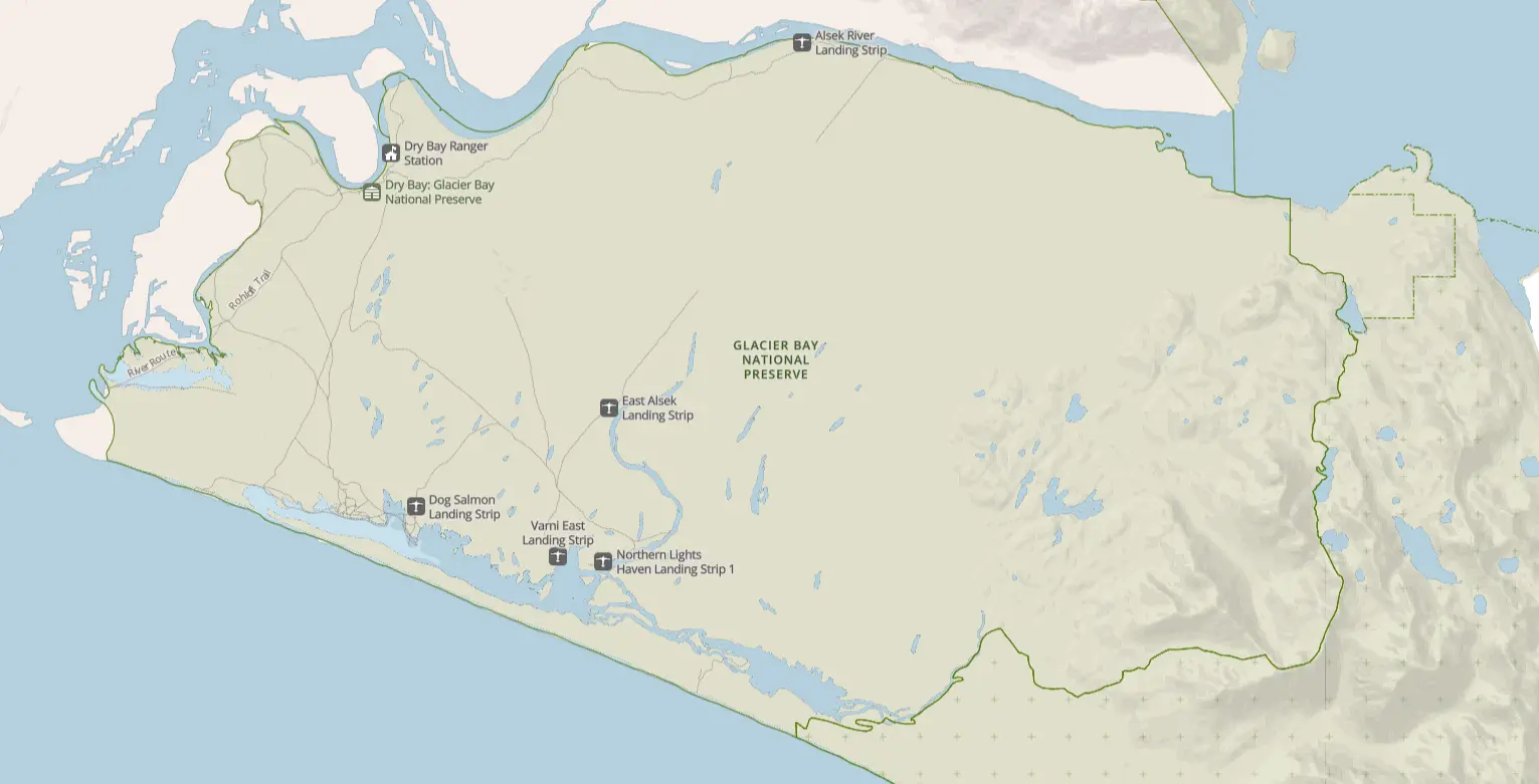
Glacier Bay National Park Map
Click the image below to view map of Glacier Bay National Park in full size.
Tips for Using a Glacier Bay National Park Map
Before your trip:
- Download maps because cell service is extremely limited.
- Bring printed maps for kayaking or boating trips.
- Check seasonal wildlife closures.
- Use nautical charts if traveling by private vessel.
- Mark ranger stations and emergency facilities before departure.
- Plan boat routes carefully, as travel distances are much greater than they appear on the map.
Frequently Asked Questions
Can you drive through Glacier Bay National Park?
No. There are no roads through Glacier Bay National Park. The only public road connects Gustavus to Bartlett Cove, approximately 10 miles long.
Where can I get an official Glacier Bay map?
You can download free maps from the National Park Service website or pick up printed copies at the Bartlett Cove Visitor Center.
What is the best map for first-time visitors?
The official Park Brochure Map is the best starting point because it shows major glaciers, visitor facilities, boat routes, and landmarks across the entire park.
Does Google Maps work inside Glacier Bay?
Google Maps can show Bartlett Cove and Gustavus, but it provides limited navigation for the waterways. Official NPS maps and NOAA nautical charts are much more useful for exploring the park.
Can I hike throughout Glacier Bay?
No. Maintained trails are limited to the Bartlett Cove area. Most of the park is wilderness that requires advanced backcountry skills and boat or aircraft access.
Final Thoughts
A Glacier Bay National Park map is one of the most valuable planning tools for visiting this remote Alaskan wilderness. Because nearly all travel takes place by boat or plane, understanding the layout of Glacier Bay, its glaciers, visitor facilities, hiking trails, and marine routes will help you make the most of your adventure. Download the official National Park Service maps before you arrive, and use them alongside tide charts and tour information to safely explore one of the most pristine landscapes in North America.