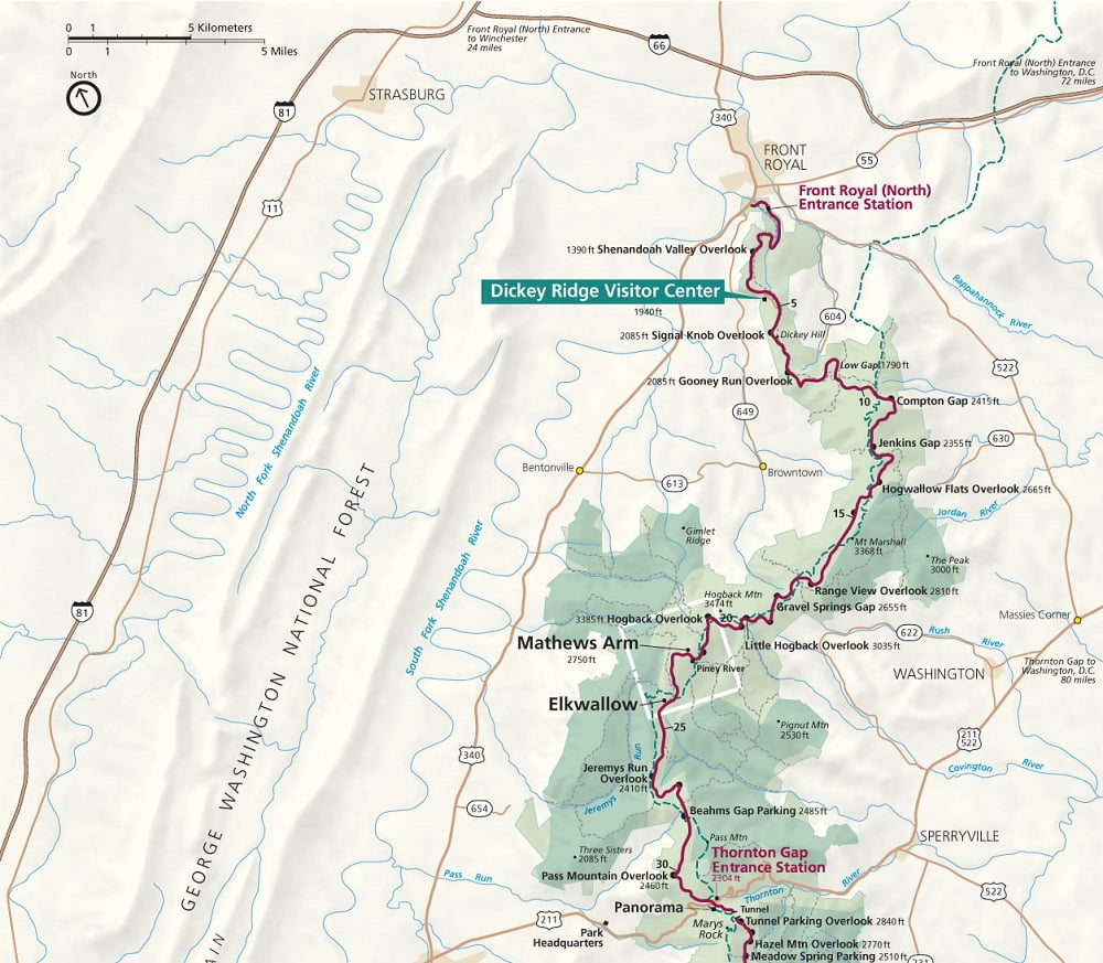
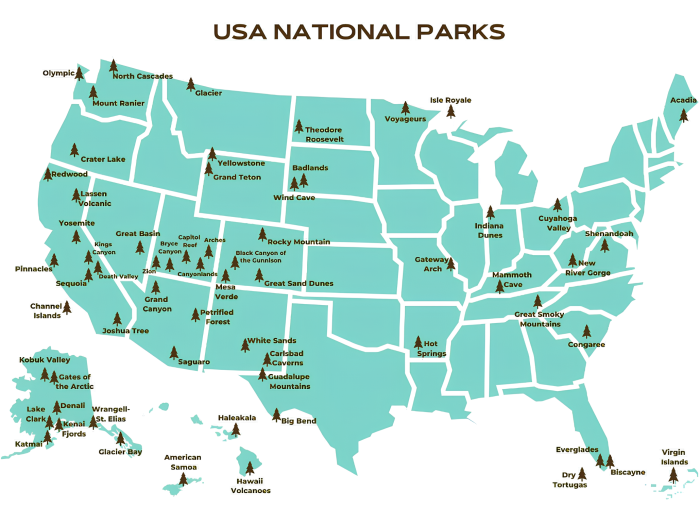
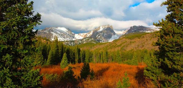
Shenandoah National Park Map Guide
Shenandoah National Park Map Guide
Getting Here
The closest major airports are in Washington, DC (90 miles), Charlottesville (50 miles) and Weyers Cave (45 miles), Virginia.
From the North
1. Take I-81 South to I-66 East to Highway 340 South to the park.
From the East
1. Take I-66 West to Highway 340 South to the park.
From the South
1. Take I-81 north to I-64 East to Highway 340 North to the park.
From the West
1. Take I-68 East to I-81 South to I-66 East to Highway 340 South to the park.
2. Take I-64 East to I-81/I-64 North to I-64 East to Highway 340 North to the park.
Tag: map of Shenandoah national park, shenandoah park map, shenandoah national park map, shenandoah np map

