Dry Tortugas National Park Map: The Complete Visitor’s Guide
Dry Tortugas National Park is one of the most remote and unique national parks in the United States. Located about 70 miles (113 km) west of Key West, Florida, the park is made up of seven small islands surrounded by crystal-clear waters, coral reefs, and abundant marine life. Unlike most national parks, nearly 99% of Dry Tortugas is underwater, making a reliable map essential for planning your visit.
Whether you’re arriving by ferry, seaplane, or private boat, this guide explains how to read the Dry Tortugas National Park map, highlights the park’s major landmarks, and helps you plan an unforgettable adventure.
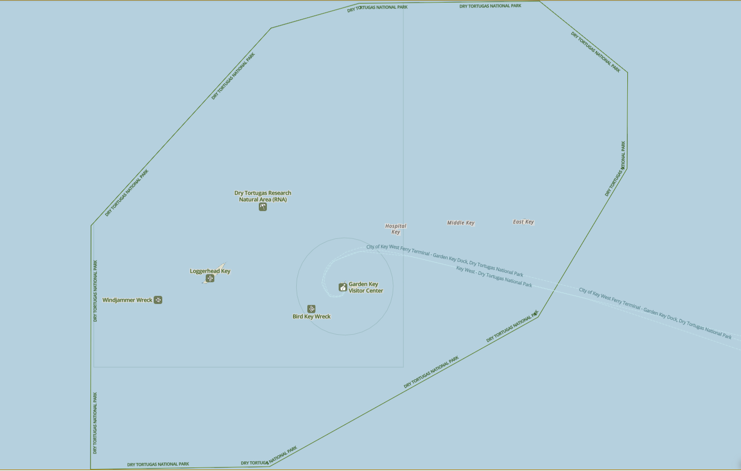
Dry Tortugas National Park Map
Click the image below to view map of Dry Tortugas National Park in full size.
Where is Dry Tortugas National Park?
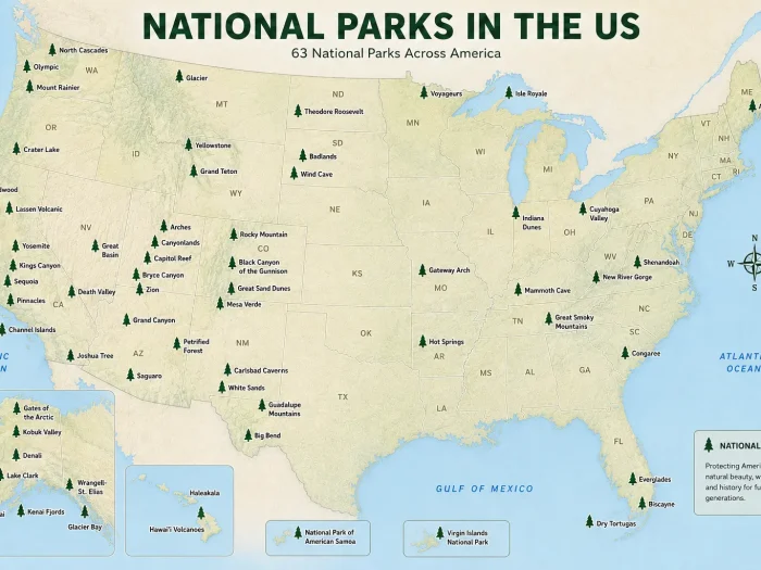
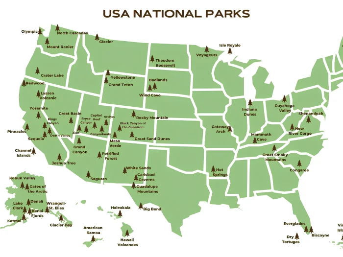
Dry Tortugas National Park lies in the Gulf of Mexico at the western end of the Florida Keys.
Nearby locations
| Destination | Distance |
|---|---|
| Key West | 70 miles (113 km) east |
| Miami | 150 miles (241 km) northeast |
| Fort Jefferson | Located on Garden Key |
| Loggerhead Key | About 3 miles west of Garden Key |
Because there are no roads leading into the park, visitors must arrive by:
- Yankee Freedom III ferry
- Seaplane
- Private boat
- Chartered vessel
Major Locations on the Dry Tortugas National Park Map
1. Garden Key
Garden Key is the main destination for nearly every visitor.
You’ll find:
- Ferry dock
- Visitor center
- Campground
- Picnic tables
- Restrooms
- Beaches
- Snorkeling access
- Fort Jefferson
Most day visitors spend their entire visit exploring Garden Key.
2. Fort Jefferson
The centerpiece of every Dry Tortugas map is Fort Jefferson, one of the largest coastal forts ever built in the United States.
Highlights include:
- Massive brick walls
- Historic cannons
- Moat wall snorkeling
- Parade grounds
- Guided ranger tours
- Rooftop views
Allow at least one hour to explore the fort.
3. Loggerhead Key
Located west of Garden Key, Loggerhead Key features:
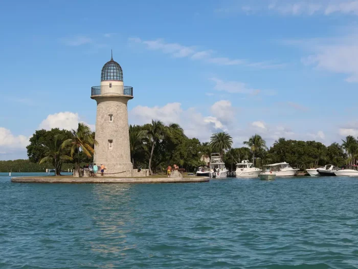
- Historic lighthouse
- Quiet beaches
- Excellent snorkeling
- Coral reefs
- Sea turtle habitat
This island is usually accessible only by private boat or kayak.
4. Bush Key
Bush Key is famous for:
- Bird nesting colonies
- Scenic beaches
- Walking trails (seasonally open)
Parts of Bush Key close during nesting season to protect wildlife.
5. Long Key
Long Key is mostly undeveloped and serves as important habitat for birds and marine life.
Visitors generally admire it from the water.
6. East Key
East Key offers:
- Historic shipwreck area
- Birdwatching
- Shallow reefs
Private boaters occasionally visit this island.
7. Hospital Key and Middle Key
These smaller islands are generally closed to public access to protect sensitive ecosystems.
Dry Tortugas Marine Zones
One of the most important features shown on the map is the marine zoning system.
Visitors will notice:
- Research Natural Area
- Wildlife protection areas
- Fishing zones
- No-anchor areas
- Coral reef habitat
These protected zones help preserve one of the healthiest coral reef ecosystems in the Florida Keys. Always check current regulations before boating, fishing, or diving.
Snorkeling Locations on the Map
The park map identifies several popular snorkeling spots.
Moat Wall
The easiest snorkeling location.
Features include:
- Tropical fish
- Coral
- Sea fans
- Clear water
Perfect for beginners.
South Swim Beach
A calm area suitable for:
- Swimming
- Families
- Relaxing
- Shore snorkeling
North Beach
Often quieter than South Beach.
Visitors may spot:
- Rays
- Small reef fish
- Sea turtles
Loggerhead Reef
Advanced snorkelers and divers love this area for:
- Coral formations
- Colorful fish
- Deep water
- Excellent visibility
Camping Area
The campground is located on Garden Key.
Facilities shown on the map include:
- Tent sites
- Picnic tables
- Composting toilets
- Fresh-water rinse station
There are no hotels, restaurants, or stores inside the park. Campers must bring all food, drinking water, and supplies.
Beaches on the Map
Several beautiful beaches appear on the visitor map.
Popular choices include:
South Beach
- Best swimming
- Calm water
- Soft white sand
North Beach
- Quieter atmosphere
- Great photography
Bush Key Beach
- Seasonal access
- Excellent sunset views
Wildlife Viewing Areas
The map also helps visitors locate wildlife hotspots.
Common sightings include:
- Sea turtles
- Frigatebirds
- Brown pelicans
- Magnificent frigatebirds
- Nurse sharks
- Coral reef fish
- Rays
Bird migration seasons attract hundreds of species every year.
Transportation Map
The visitor map shows where transportation arrives.
Ferry
The Yankee Freedom ferry docks at Garden Key.
Travel time: About 2 hours 15 minutes each way.
Seaplane
Seaplanes land near Garden Key.
Advantages:
- Faster trip
- Aerial views
- More flexible schedule
Private Boat
Private boaters may anchor in designated areas shown on the marine map.
Always follow park regulations.
How to Use the Dry Tortugas National Park Map
Before visiting:
- Download the official park map for offline use.
- Mark snorkeling areas.
- Locate the campground if staying overnight.
- Review marine protection zones.
- Identify restroom and visitor center locations.
- Check ferry or seaplane arrival points.
Cell service can be limited, so having an offline map is highly recommended.
Best Places to Photograph
The map helps visitors find iconic photo locations.
Top spots include:
- Fort Jefferson walls
- Lighthouse at Loggerhead Key
- South Beach
- Ferry dock
- Moat Wall
- Bush Key sandbar
- Sunset from Garden Key
Frequently Asked Questions
Is there only one island to visit?
No. The park contains seven islands, although most visitors spend their time on Garden Key.
Can you drive inside Dry Tortugas National Park?
No. There are no roads or vehicles inside the park.
Where is Fort Jefferson on the map?
Fort Jefferson occupies most of Garden Key and is the park’s central landmark.
Is the visitor map enough for boating?
No. The visitor map is for orientation only. Boaters should use official NOAA nautical charts for safe navigation.
Which island has the lighthouse?
Loggerhead Key.
Where is the campground?
The campground is located on Garden Key, near Fort Jefferson.
Can I snorkel directly from the beach?
Yes. The Moat Wall, South Beach, and North Beach are popular shore-access snorkeling locations.
Is Bush Key always open?
No. Bush Key may close seasonally to protect nesting seabirds.
Can I download the map before my trip?
Yes. The National Park Service offers downloadable maps and offline content through its official resources.
Final Thoughts
A Dry Tortugas National Park map is one of the most valuable tools for planning your visit to this remote marine paradise. From the towering walls of Fort Jefferson to the coral reefs surrounding Loggerhead Key, the map helps you navigate beaches, snorkeling sites, wildlife habitats, campgrounds, and protected marine zones. By reviewing the map before your trip and downloading it for offline use, you’ll be better prepared to make the most of one of America’s most extraordinary national parks.