Great Sand Dunes National Park Map and Entrances Explained
Where Is Great Sand Dunes National Park Located?
Great Sand Dunes National Park and Preserve is located in southern Colorado, in the San Luis Valley, near the small towns of Mosca and Alamosa.
The park sits at the base of the Sangre de Cristo Mountains and is home to the tallest sand dunes in North America, with some dunes rising more than 750 feet (230 m) above the valley floor.
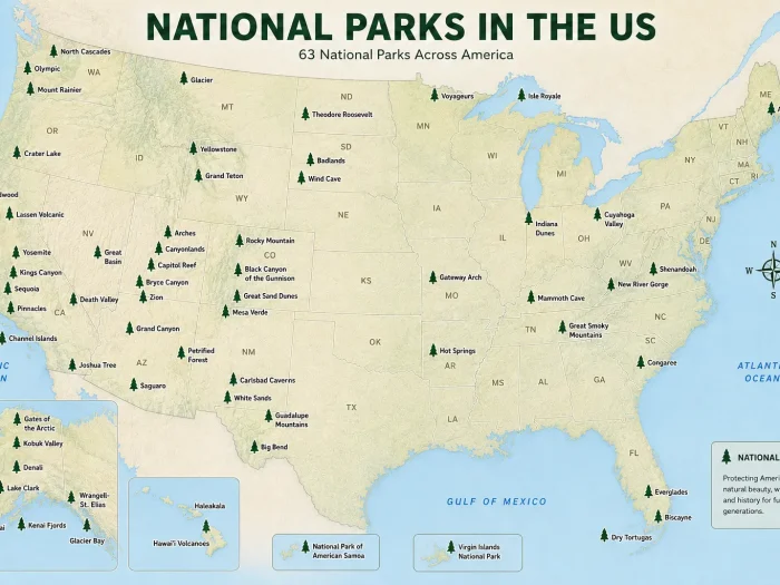
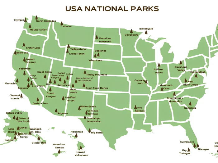
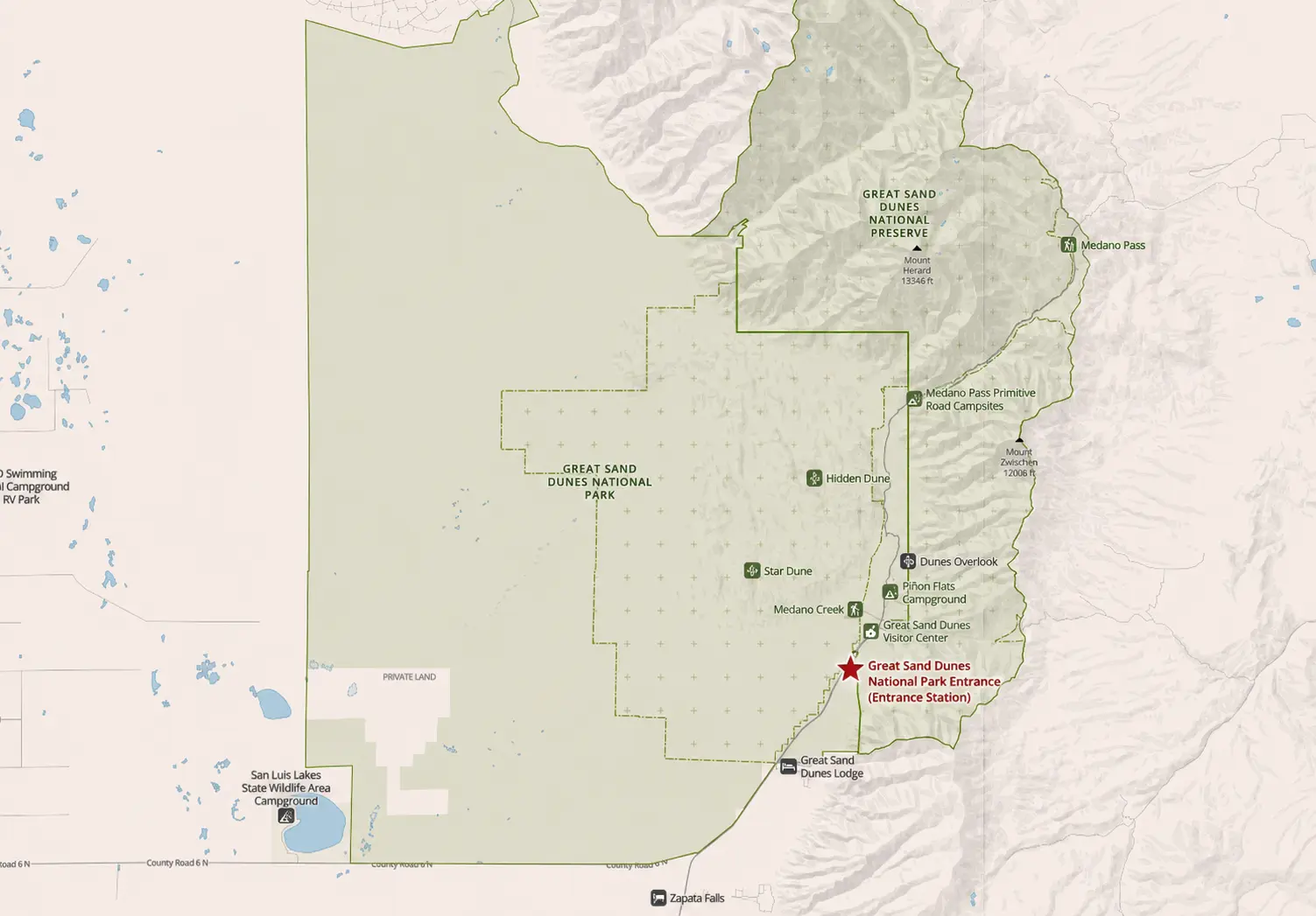
Great Sand Dunes National Park Map
Distance From Major Cities
| City | Distance |
|---|---|
| Alamosa, CO | 35 miles (56 km) |
| Colorado Springs, CO | 165 miles (266 km) |
| Denver, CO | 240 miles (386 km) |
| Santa Fe, NM | 170 miles (274 km) |
| Pueblo, CO | 120 miles (193 km) |
Map Location
The park is located in south-central Colorado along Colorado Highway 150, approximately 15 miles north of US Highway 160.
Visitors typically reach the park by driving:
- Denver → I-25 South → US-160 West → CO-150 North
- Colorado Springs → I-25 South → US-160 West → CO-150 North
- Alamosa → US-160 East → CO-150 North
The nearest commercial airport is San Luis Valley Regional Airport in Alamosa, about 35 miles from the park.
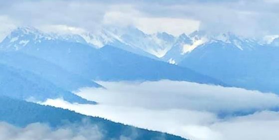
One of the most unique features of Great Sand Dunes National Park is the dramatic contrast between the massive sand dunes and the snow-capped Sangre de Cristo Mountains rising directly behind them.
Click the image below to view map of Great Sand Dunes National Park in full size.
Great Sand Dunes National Park Entrances
Unlike many national parks with multiple gates, Great Sand Dunes National Park & Preserve in Colorado has one primary public entrance for most visitors. The park is easily accessed by road and does not require timed-entry reservations.
Main Entrance
Great Sand Dunes Entrance Station
- Located along Colorado State Highway 150.
- About 15 miles north of US Highway 160.
- All visitors driving into the park pass through this entrance station.
- Entrance fees are collected here when the station is staffed.
From the entrance station, a paved park road continues to:
- Great Sand Dunes Visitor Center
- Dunes Parking Area
- Piñon Flats Campground
- Mosca Pass Trailhead
FAQs About Great Sand Dunes National Park
1. Where is Great Sand Dunes National Park located?
Great Sand Dunes National Park is located in southern Colorado’s San Luis Valley, near the towns of Mosca and Alamosa. The park lies at the base of the Sangre de Cristo Mountains and is famous for having the tallest sand dunes in North America.
2. How do you get to Great Sand Dunes National Park?
Most visitors access the park via Colorado Highway 150, which leads directly to the park’s entrance station. The nearest city is Alamosa, about 35 miles away, and the nearest major airports are in Colorado Springs and Denver.
3. What is the best time to visit Great Sand Dunes National Park?
Spring and fall are generally considered the best times to visit due to mild temperatures. Summer is popular for activities in Medano Creek, while winter offers fewer crowds and scenic snow-covered dunes.
4. How tall are the sand dunes in Great Sand Dunes National Park?
The tallest dune, Star Dune, rises approximately 755 feet (230 meters) from the surrounding landscape, making it the tallest sand dune in North America.
5. Is there an entrance fee for Great Sand Dunes National Park?
Yes, the park charges an entrance fee for private vehicles, motorcycles, and individuals entering on foot or by bicycle. Visitors can also use an America the Beautiful Pass for entry. Fees may change, so it’s best to check the National Park Service website before your visit.